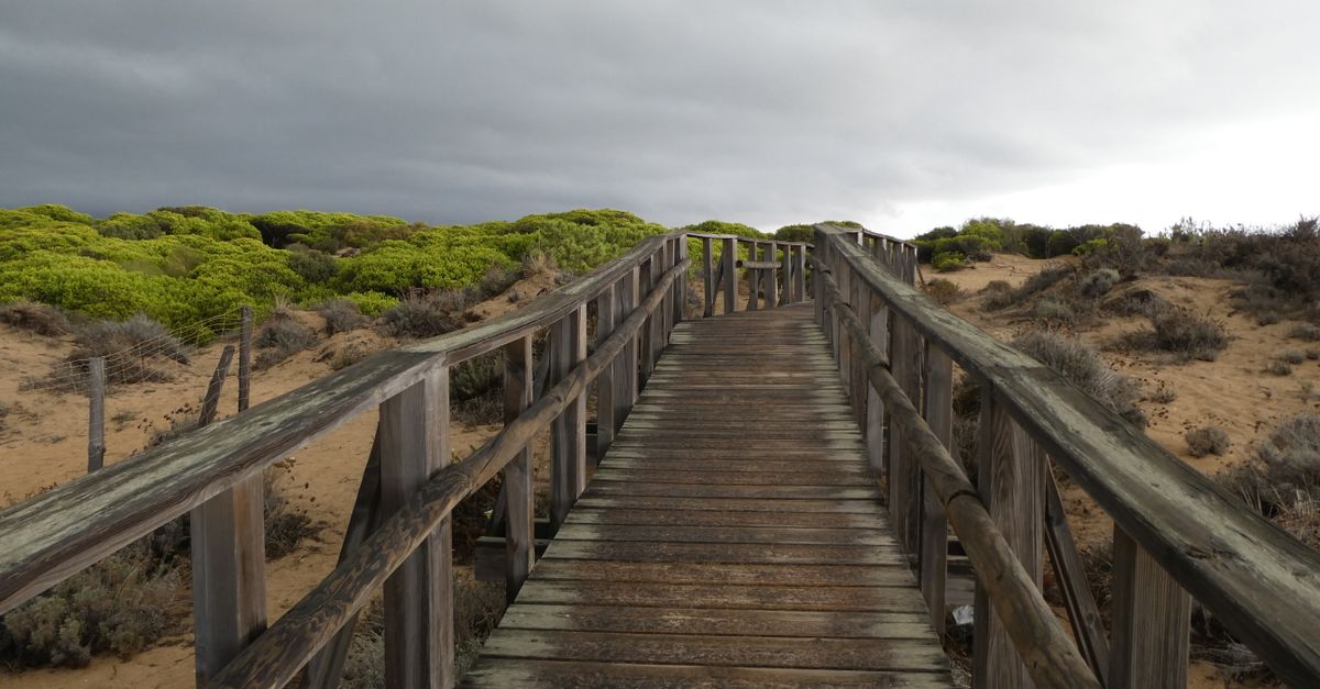
The Amelia Island Trail is a paved, roughly six-and-a-half-mile shared-use path that runs along A1A (First Coast Highway) on the south end of the island and ties into the East Coast Greenway, the Maine-to-Florida route. You can download a free trail map from the Florida State Parks website and from the East Coast Greenway's interactive map; both show the paved sections, the trailheads, and the on-street gap through the commercial middle. The path is flat, open to bikes and walkers, and it runs straight to the beach.
Most people who ask me for a map are picturing one clean loop. The island doesn't work that way. The good walking sits in three or four separate spots, and the paved trail is only the part you can ride a beach cruiser on without losing a tire to a root. So here is both, paved and unpaved.
How long is the Amelia Island Trail and where does it go?
The paved trail covers about six and a half miles in two sections along A1A. The longer southern stretch runs from the resort area down past American Beach to the island's south tip near Amelia Island State Park, where the old George Crady bridge is now a fishing pier reaching toward Big Talbot Island. A shorter northern stretch sits up near Atlantic Avenue and Fort Clinch. The two don't fully connect; you ride or walk a few blocks of low-traffic street through the middle to link them.
It's asphalt the whole way, flat as a board, and wide enough for a stroller next to a cyclist. Near the south tip you pass American Beach, a community founded in 1935 and listed on the National Register of Historic Places. The NaNa Dune behind it stands around sixty feet, one of the tallest dunes in Florida, and you can see it from the path.
Where do you actually get the Amelia Island trail map?
Three free sources cover everything. Florida State Parks publishes the paved Amelia Island Trail map as a PDF. The East Coast Greenway has an interactive online map that shows how the trail fits the larger route and flags the on-street segments. For the unpaved walking, the City of Fernandina Beach posts a map of the Egans Creek Greenway, and AllTrails has user-tracked versions of the marsh loops with distances.
If you only print one, print the Egans Creek map. The paved trail is easy to follow without paper. The marsh is where people get turned around.
| Path | Surface | Length | Good for |
|---|---|---|---|
| Amelia Island Trail | Paved asphalt | ~6.5 miles, two sections | Biking, strollers, beach access |
| Egans Creek Greenway | Dirt and crushed shell | Several miles of loops | Wildlife, marsh, birding |
| Fort Clinch trails | Paved road plus dirt loop | ~3-mile road, short nature loop | Shaded riding, history, ponds |
| Historic district downtown | Brick and sidewalk | About fifty blocks | Walking, shops, Victorian homes |
Where is the best off-pavement walking? Egans Creek Greenway
Egans Creek Greenway is a roughly 300-acre preserve of marsh and maritime hammock running up the spine of the island, with several miles of flat dirt and crushed-shell trails open dawn to dusk. This is the wildlife walk. Alligators sun on the freshwater banks, gopher tortoises cross the path, and in spring the painted buntings show up loud enough to embarrass a cardinal. Bring water and bug spray; the no-see-ums near the marsh at dusk are a local rite of passage.
Two easy entrances get you in: one off Atlantic Avenue by the recreation center, one off Jasmine Street. The trails branch, so a phone map helps. When we show buyers around the island at Salt Harbor Real Estate, the Egans Creek boardwalk is usually the spot where they stop asking about square footage and start asking what it would take to live here.
What about Fort Clinch and the north end?
Fort Clinch State Park, at the north tip, has its own paved multi-use road and a quieter foot trail. The entrance road runs about three miles under a tunnel of live oaks dripping Spanish moss, and it's popular with cyclists early, before the cars. The Willow Pond Nature Trail is a short loop, under a mile and a half, through hardwood and around freshwater ponds where you'll see more gators and plenty of birds. The 1840s-era brick fort sits at the end with views across Cumberland Sound to Cumberland Island in Georgia.
When is the best time to walk any of it?
October through April is the window. Daytime temperatures sit in the sixties and seventies, the humidity backs off, and the bugs thin out. Summer here is hot and wet; if you walk June through September, go before nine in the morning, because the afternoon thunderstorms build fast off the Atlantic and the marsh trails turn into a sauna. On a hot afternoon, the shadiest walk is downtown, the fifty-odd blocks of the Fernandina Beach historic district, where the live oaks and the porches of the old Victorian houses keep the brick streets cool. Early morning is also when the wildlife moves. A 7 a.m. lap of Egans Creek beats a noon one every time.
Frequently asked questions
How long is the Amelia Island Trail?
The paved Amelia Island Trail runs about six and a half miles in two sections along A1A on the south and north ends of the island. It forms a segment of the East Coast Greenway, with a short on-street connection through the developed middle of the island.
Where to walk in Amelia Island?
The best walks are the paved Amelia Island Trail along A1A, the unpaved marsh loops of Egans Creek Greenway, the live-oak trails at Fort Clinch State Park, and the brick streets of the Fernandina Beach historic district downtown. Egans Creek is the spot for wildlife; downtown is the shadiest on a hot day.
Can you bike the Amelia Island Trail?
Yes. It is a shared-use path open to bikes and walkers and forms part of the Maine-to-Florida East Coast Greenway. The two paved sections are linked by a few blocks of low-traffic street through the island's commercial middle.
Where can you see alligators on Amelia Island?
Egans Creek Greenway is the reliable spot. Alligators sun along the freshwater channels off the dirt trails, best seen early morning or late afternoon between the Atlantic Avenue and Jasmine Street entrances. The greenway is open dawn to dusk.